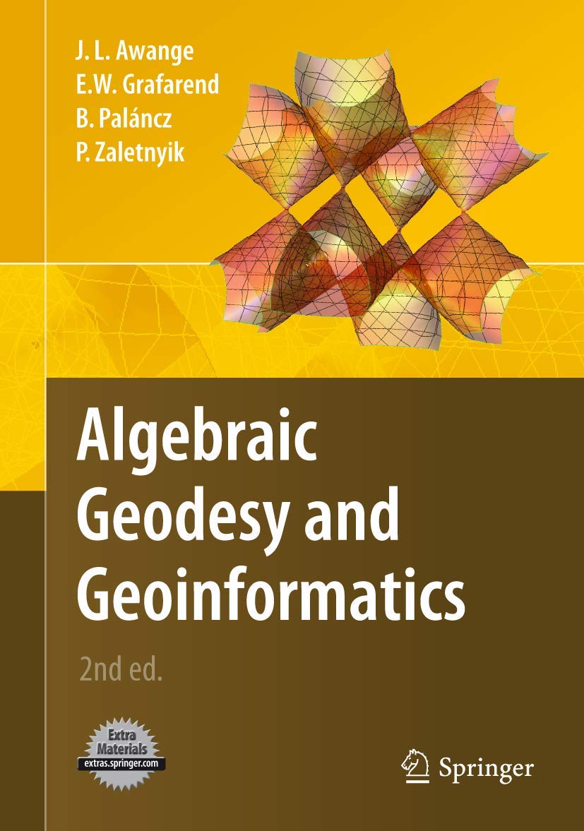
Algebraic Geodesy and Geoinformatics
Algebraic Geodesy and Geoinformatics is backordered and will ship as soon as it is back in stock.
Couldn't load pickup availability
Genuine Products Guarantee
Genuine Products Guarantee
We guarantee 100% genuine products, and if proven otherwise, we will compensate you with 10 times the product's cost.
Delivery and Shipping
Delivery and Shipping
Products are generally ready for dispatch within 1 day and typically reach you in 3 to 5 days.
Book Details
-
Publisher: Springer
-
Author: Joseph L. Awange
-
Language: English
-
Edition: 2nd ed. 2010
-
ISBN: 9783642121234
-
Pages: 377
-
Cover: Hardcover
-
Format: Import
-
Dimensions: 9.4 x 6.1 x 0.9 inches
About The Book
The title of the book by Joseph L. Awange is an in-depth exploration that delves into the relevant issues in the field of geoscience. Published by Springer in the second edition on July 5, 2010, this hardcover book provides critical insights into subjects like geography, environment, and the application of remote sensing techniques in scientific studies.
This updated edition builds on the foundational knowledge of the first edition and includes further expansions and revisions to keep up with advancements in the field. Aimed at students, researchers, and professionals in geography and remote sensing, the book provides clear explanations and explores complex ideas surrounding the dynamic applications of geospatial data.
Key Features:
-
Comprehensive exploration of geospatial and remote sensing concepts.
-
Updated content based on new developments in the field of geoscience.
-
Suitable for students and professionals in geographic information systems (GIS) and remote sensing.
This book serves as an essential resource for understanding the applications of remote sensing and geospatial data analysis. It combines practical knowledge with theoretical frameworks, making it an excellent addition to any geoscience library.


