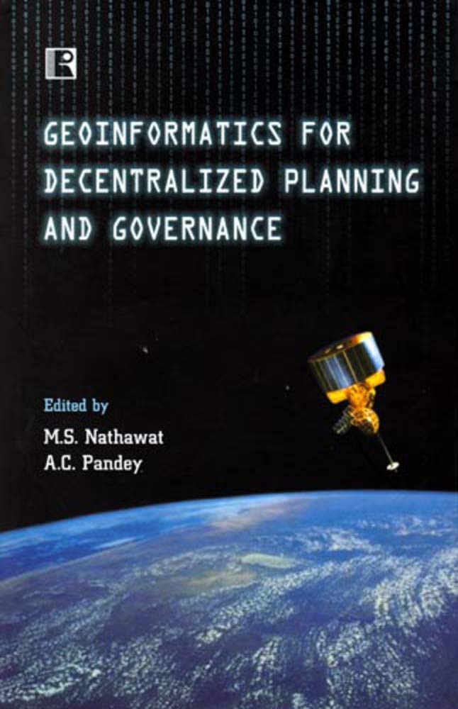
Geoinformatics for Decentralized Planning and Governance
Geoinformatics for Decentralized Planning and Governance is backordered and will ship as soon as it is back in stock.
Couldn't load pickup availability
Genuine Products Guarantee
Genuine Products Guarantee
We guarantee 100% genuine products, and if proven otherwise, we will compensate you with 10 times the product's cost.
Delivery and Shipping
Delivery and Shipping
Products are generally ready for dispatch within 1 day and typically reach you in 3 to 5 days.
Book Details
-
Author: M.S. Nathawat
-
Publisher: Rawat Publications
-
Language: English
-
Edition: 2008
-
ISBN: 813160117X
-
Pages: 448
-
Cover: Hardcover
-
Dimensions: 8.7 x 5.8 x 1.2 inches
About the Book
Geoinformatics has emerged as a cutting-edge technology and a powerful decision-making tool in areas like facility-utility mapping, resource planning, disaster management, and e-governance. Recent advancements in remote sensing, GIS (Geographical Information Systems), and GPS (Global Positioning System) have further amplified its potential for decentralized planning and sustainable development.
This book is a compilation of papers presented and discussed at the National Seminar on "Role of Geoinformatics in Decentralized Planning" held at Birla Institute of Technology, Mesra, Ranchi. The papers cover a wide array of geoinformatics application areas, including environmental issues, natural resource mapping, and rural and urban planning. It also showcases work from esteemed organizations in India like IIRS, NRSA, ISRO, RRSSC, and State Remote Sensing Centres.
The book is designed to cater to academicians, scientists, research scholars, and professionals working in remote sensing, GIS, and GPS. It offers in-depth insights into the recent trends and advancements in these fields and highlights how geoinformatics can aid in India's development.
Contents
-
Environmental Issues and Solutions
-
Natural Resource Mapping
-
Rural and Urban Planning
-
Work of Organizations like IIRS, NRSA, and ISRO
-
Remote Sensing in Disaster Management
-
Applications of GIS and GPS
-
National Projects on Desertification, Water Audit, and Glacier Studies
About the Author:
M.S. Nathawat is a Professor in the Department of Remote Sensing at Birla Institute of Technology, Mesra, Ranchi. He has been awarded a citation for his contributions to Remote Sensing by CLUMA, Hyderabad. With several published research papers, he has worked on high-profile projects, sponsored by agencies like National Remote Sensing Agency and Department of Science & Technology, Government of India, focusing on desertification, wasteland mapping, glacier studies, and more.
A.C. Pandey is a Senior Lecturer in the Department of Remote Sensing at Birla Institute of Technology, Mesra, Ranchi. He has published various research papers on remote sensing and has worked on national projects related to desertification, groundwater contamination, forest fires, and glacier retreat.


